"LionTech's hardworking team effectively handled the complications and showed flexibility when asked to rebuild parts of the project."

Get In Touch:


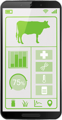
LionTech's developers are experts in livestock software, and we create cross-platform apps and modules for ranch management, accounting, animal tracking, breeding tracking, and more.
Our optimization solutions allow ranchers to track pasture growth and field yields. Using GIS and geo-fencing technology, we generate detailed field views to plan field movements.
Our mapping interfaces enable ranchers to track livestock locations using RFID, EID, embedded ear tag sensors, and GIS/GPS software. Ranchers can also view and edit data on every animal.
LionTech's custom developed dashboards track gestation status and herd-wide propagation. By configuring DSS, we optimize operations, reduce costs and produce better offspring.
Our custom livestock breeding soft allows you to easily make pedigrees and calculate inbreeding percentages in your online database.
Our custom Phenotype solutions allow you to track observable characteristics of your livestock resulting from the interaction of its genotype with the environment.
As traditional agriculture moves into the future, it's important to have a partner like LionTech to integrate new technology with existing methods and architecture. Our precision agriculture technology solutions address all aspects of agriculture technology workflow, including soil mapping, remote sensing, drones and GPS integration.
Using languages and frameworks like JQuery, .NET, CSS and Visual Studio, our team develops apps to modernize agriculture websites and systems, collect and analyze data, and improve production.
Our team digitizes and entire farmland and creates a 3D model of the soil, allowing us to use our software to collect data about a crop's lifecycle and adjust resources.
We create software for unmanned aerial vehicles that can deploy seeds, spray fertilizer or pesticides, and record heat maps to measure the health of a crop.
Our team can integrate soil mapping, crop sensors and drone software through APIs to combine analytics, giving a holistic view of the entire farmland.


"LionTech's hardworking team effectively handled the complications and showed flexibility when asked to rebuild parts of the project."


"LionTech's impeccable communication, punctuality, and technical skill have positioned them for a long-lasting engagement."

"The most attractive aspect of working with LionTech is the price and professionalism of the project team."
"We love working with LionTech, the company has been very transparent throughout the entire development process."
I believe this company, they are good and always leep to their promise. Recomended